
Land Surveying Services
Topographic Survey
A topographic survey is a survey showing the contours and elevations of a property. It gives engineers, architects, and property owners the ground information they need for drainage, grading, and site design.
What this service involves
Overview
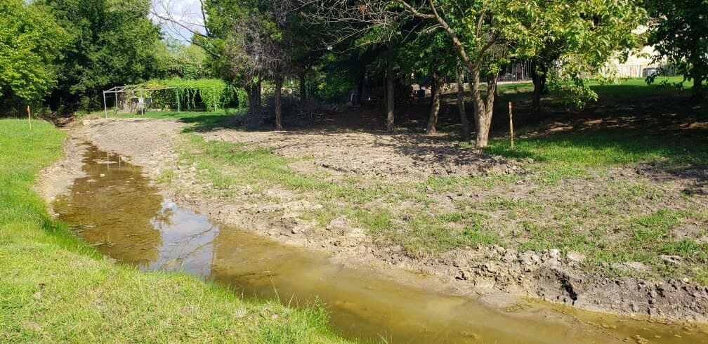
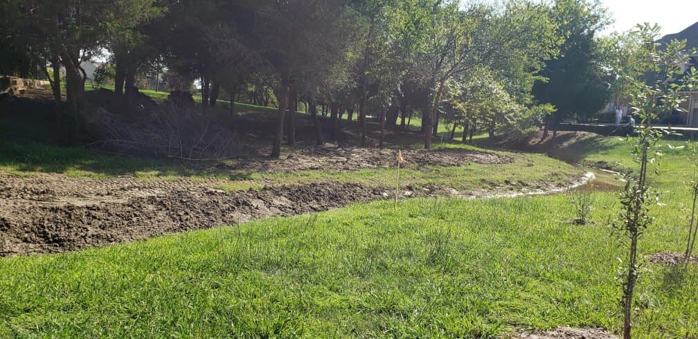
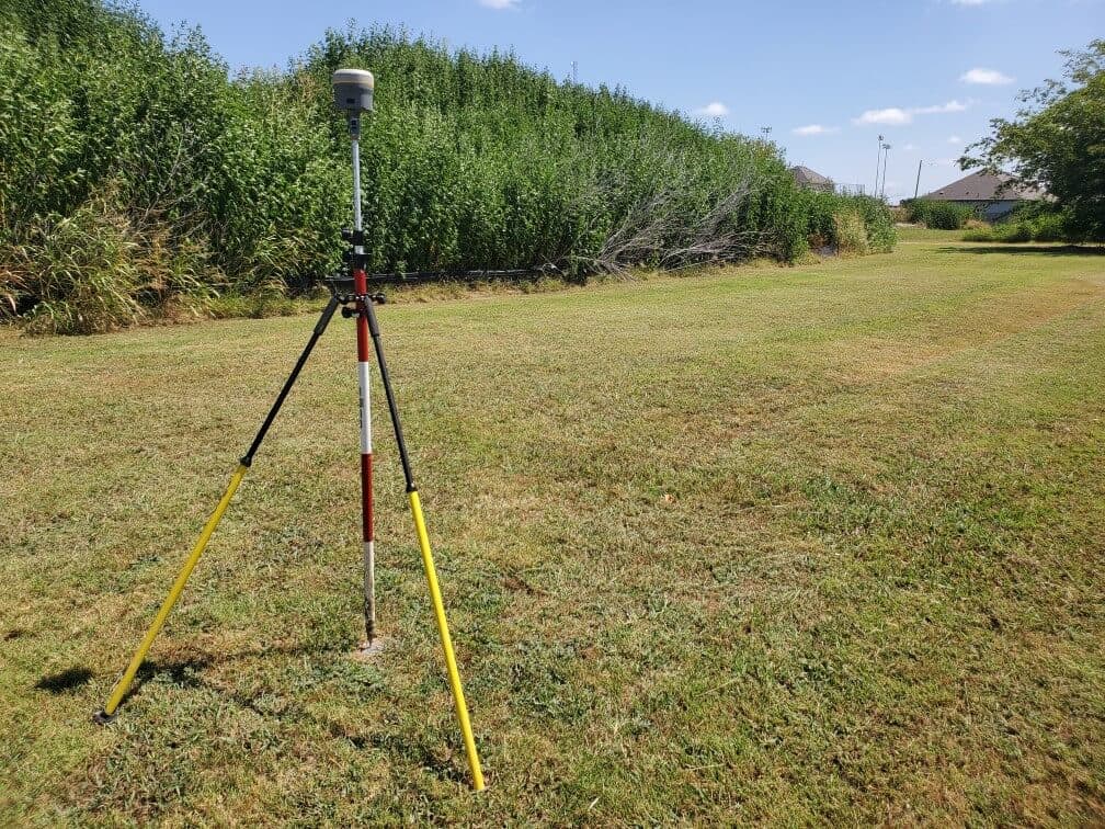
We take elevations across the site and along features such as creeks, drainage channels, and street curbs, then generate contours from that data.
Topographic surveys are often combined with a boundary or title survey so the design team has the property lines and the ground on one drawing.
Elevations are tied to a known benchmark so the survey can be related to city, FEMA, or project datums.
Common uses
- Site and drainage design
- Grading plans
- Pool, addition, and landscape design
- Development planning
Who this service is for
- Civil Engineers
- Architects
- Developers
- Property Owners
What you receive
- PDF survey delivered by email
- DWG/CAD file with contours upon request
- Signed hardcopies upon request
How the process works
Step 1 — Contact Us
You contact us with the property address and the type of survey or project need, by quote request or phone. We'll get back to you with a quote as soon as possible.
Step 2 — Review and Confirm
We research deed records, plats, and other documents to confirm scope, pricing, and timeline with you.
Step 3 — Fieldwork Scheduled
Our in-house field crew completes the field work. Most surveys are completed in four to five business days; homebuilder work is typically one to two business days.
Step 4 — Office Processing
Our in-house drafting department prepares the drawing as soon as our crew sends in the data, and it is reviewed and approved by a Registered Professional Land Surveyor.
Step 5 — Delivery
The survey is delivered by email as a PDF (signed hardcopies available upon request).
Frequently asked questions
What contour interval do you provide?
The interval depends on the project and the design team's requirements. Tell us how the survey will be used and we will confirm the interval with you before field work.
Can the topographic survey include the boundary?
Yes. Combining the topographic survey with a boundary or title survey is common and gives the design team one complete drawing.
Related services
Boundary Survey
Boundary surveys for lots and tracts of any size, with the same field work and drafting we apply to a title survey.
Design Survey
The title survey elements, usually with elevations, contours, and utility data, that engineers and architects design from.
Elevation Certificate
The FEMA form recording a structure's elevations against the base flood elevation, prepared and certified by a licensed land surveyor.