
Land Surveying Services
Boundary Survey
- What it is
- Your property lines and corners located, with the fences, easements, creeks, roads, and other features along and inside the boundary.
- Who orders it
- Homeowners, land owners, buyers and sellers, and developers: before a fence or addition, for a purchase or sale, or to divide or combine land.
- What you need
- Just the property address. A title commitment from your title company helps, but isn't required; without one, we find recorded easements through our own research and field work.
- What you get
- The survey as a PDF by email; signed hardcopies and a CAD drawing file (DWG) on request.
- How long
- Most take four to five business days; a large tract, heavy vegetation, or a long or old deed history can take longer.
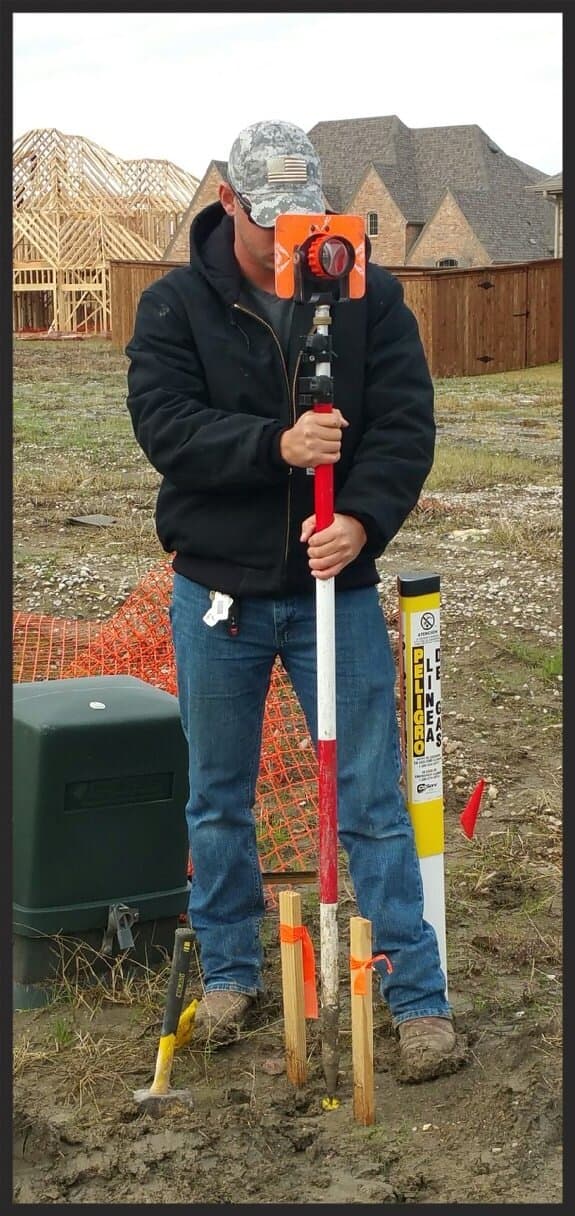
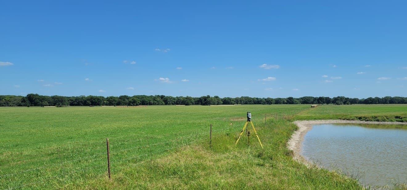
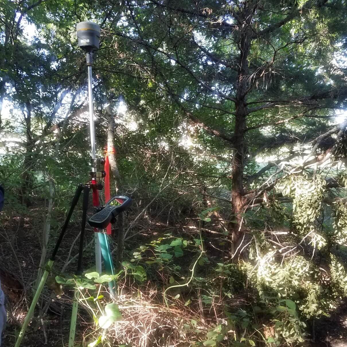
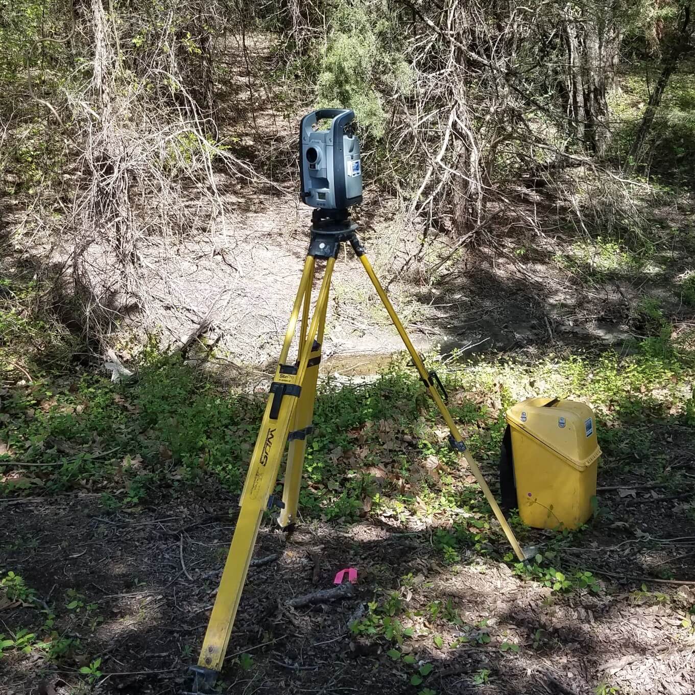
What this service involves
What you receive
- PDF survey delivered by email
- Signed hardcopies upon request
- CAD drawing file (DWG) on request
Sample boundary survey
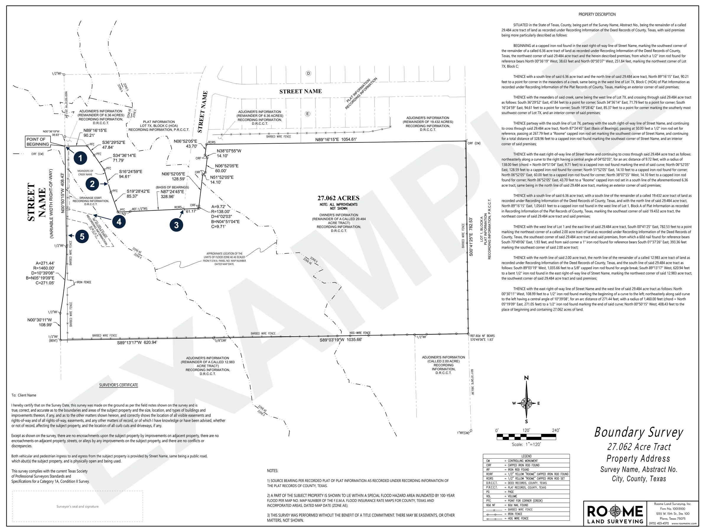
- The point of beginning, at a monument found on the right-of-way line.
- The boundary along the meanders of the creek, with each course's bearing and distance.
- Corner monuments found and set, with curve data where the line changes.
- A recorded access easement on the tract.
- Fences located along the boundary line.
A sample boundary survey. The client, address, adjoiners, and recording details are replaced with labels, and the surveyor's seal is removed. Select the drawing to see the whole sheet.
Common uses
- Locating property lines before a fence, addition, or improvement
- Property purchases and sales
- Dividing or combining lots and tracts
- Planning ahead of development
Which survey do I need?
A boundary survey and a title survey get the same field work and the same drawing from us. The difference is the title commitment: a title survey works from the one your title company issues, and a boundary survey doesn't need one. An ALTA survey is a title survey to a national standard, used mainly for commercial property.
Boundary surveyThis page
- In short
- Where your property lines and corners are.
- What it shows
- Your lines and corners, with new corners set where needed, and the fences, easements, creeks, roads and other features along and inside the lines. It can also show the house and other improvements.
- When it's needed
- To know where your lines are: before a fence, addition or other improvement, when buying or selling land, or to divide or combine lots and tracts.
- Title commitment?
- Helps, but isn't required; without one, we find recorded easements through our own research and field work.
- Who usually orders it
- Homeowners, land owners, buyers and sellers, and developers.
- In short
- The survey for a title closing.
- What it shows
- Everything on a boundary survey, plus the items in your title company's commitment (recorded easements, restrictions and the like) researched and noted, and the house and other improvements.
- When it's needed
- Buying, selling or refinancing a home, when the title company or lender asks for a survey. Also a new home's final survey, once the house is built.
- Title commitment?
- Yes. It comes from your title company, and we research and note the items it lists.
- Who usually orders it
- The title company or lender, for a purchase or refinance; the builder, for a new home. You can also order one from us yourself.
- In short
- The survey for a commercial closing or loan.
- What it shows
- Everything on a title survey, done to the national ALTA/NSPS standard, plus any optional items the order calls for, such as building heights, parking counts or topography.
- When it's needed
- Buying, selling or financing commercial property, when the lender or title company asks for an ALTA survey.
- Title commitment?
- Yes, from the title company.
- Who usually orders it
- Commercial property owners, lenders, title companies, attorneys and developers.
Only need your corners marked for a fence? A lot stake may be all you need.
Still not sure? Find the right one in our survey chooser, or request a quote and tell us what the survey is for.
Overview
A boundary survey locates your property lines and corners. It gets the same field work and drafting as a title survey, whatever the size of the property, and shows the fences, easements, creeks, roads, and other features along and inside the boundary.
Surveys usually take four to five business days, depending on how complex the property is and how much research its location needs.
Boundary work depends on thorough deed research. We do our due diligence: we plot the current deed, the neighbors' deeds, and deeds before them as needed for our crews on the ground.
In the field we recover existing monuments, locate fences, creeks, roads, and other features along and inside the boundary, and set new corners where needed.
A boundary survey may or may not have a title commitment. We perform the survey the same way either way. Without a commitment we do not have the benefit of the title company's research in identifying recorded easements and other matters affecting the property, so those items are shown as our own research and field work find them.
The work is the same whether the property is a residential lot or a large tract. We have surveyed everything from single lots inside city limits to tracts of thousands of acres across North Central Texas, and we schedule jobs to meet your deadline.
Who this service is for
- Homeowners
- Property and Land Owners
- Buyers and Sellers
- Developers
How the process works
Step 1 — Contact Us
You contact us with the property address and the type of survey or project need, by quote request or phone. We aim to get back to you with a quote the same day, or the next business day.
Step 2 — Review and Confirm
We research deed records, plats, and other documents to confirm scope, pricing, and timeline with you.
Step 3 — Field Work Scheduled
Our in-house field crew completes the field work. Surveys usually take four to five business days, depending on how complex the property is and how much research its location needs; homebuilder work is typically one to two business days.
Step 4 — Office Processing
Our in-house drafting department prepares the drawing as soon as our crew sends in the data, and it is reviewed and approved by a Registered Professional Land Surveyor.
Step 5 — Delivery
The survey is delivered by email as a PDF (signed hardcopies available upon request).
Frequently asked questions
How long does a boundary survey take?
Most take four to five business days; a large tract, heavy vegetation, or a long or old deed history can take longer. Our quotes team evaluates each request and gives you a timeline before work begins.
See also
Surveying acreage or need a plat? See Land and Acreage Surveys.
Related services
Plats
Plats prepared for city submittal and recording, covering subdivision plats, replats, and amending plats.
Title Survey
A comprehensive survey of boundary lines, right-of-way lines, and easements for buyers, sellers, lenders, and title companies, usually needed for a real estate transaction.
Topographic Survey
A survey showing the contours and elevations of a property.