
Roome Land Surveying · Dallas–Fort Worth Metroplex
Land Surveying Services
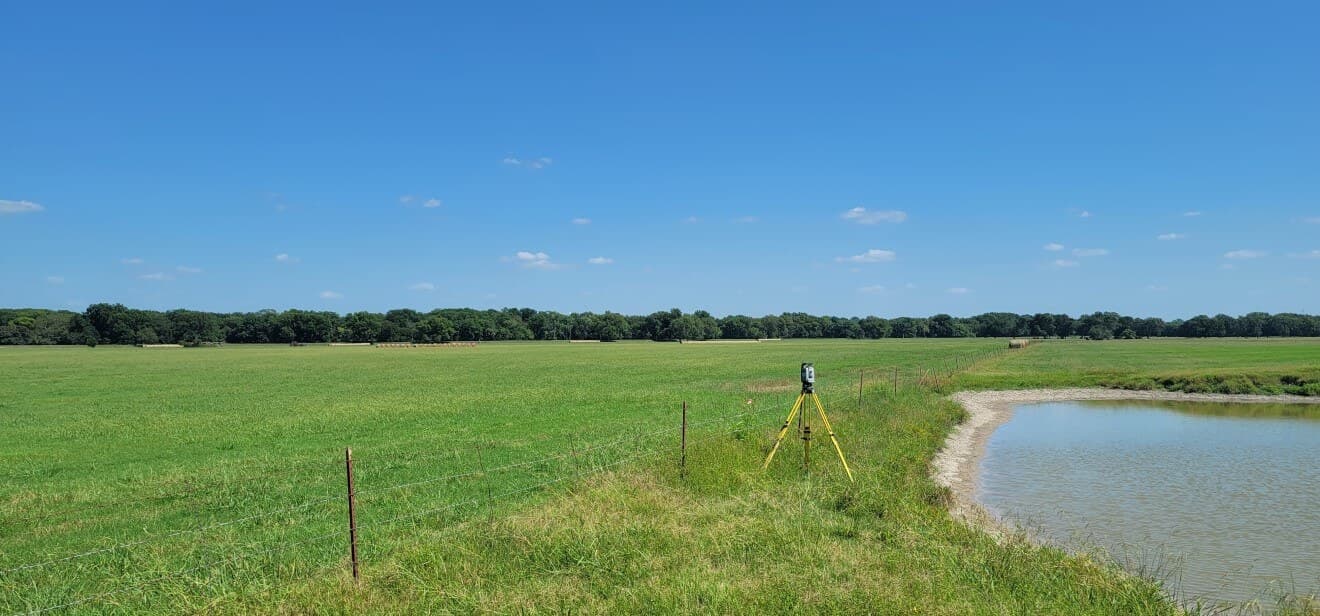
Located near downtown Plano, Roome Land Surveying serves the Dallas–Fort Worth metroplex for many types of land surveying needs, from large acreage tracts through commercial and residential property development.
Surveying acreage or need a plat? See Land and Acreage Surveys.
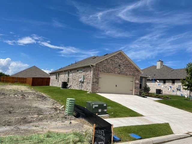
Building homes in a new community? See the Builder Communities where our crews already work.
Every project is different. If you do not see the service you need below, contact us and we will discuss the right approach for your project.
All services
Select a service for what it covers, who typically orders it, and what you receive.
ALTA Survey
An ALTA survey is used primarily for commercial properties. Our quote lists the Table A items it covers from the ALTA/NSPS checklist, starting with those that make up a standard title survey. If you need more, such as building heights or topography, we adjust the quote for the added time.
Who this service is for
- Commercial Property Owners
- Lenders
- Title Companies
- Attorneys and Developers
What you receive
- PDF survey delivered by email
- Signed hardcopies upon request
- Trimmed DWG/CAD data upon request
As-Built Survey
An as-built survey involves surveying a piece of property with all improvements shown. It documents what was actually constructed and where it sits relative to the boundary, easements, and building lines.
Who this service is for
- Property Owners
- Builders and Contractors
- Commercial Clients
- Civil Engineers
What you receive
- PDF survey delivered by email
- Signed hardcopies upon request
- Trimmed DWG/CAD data upon request
Boundary Survey
A boundary survey locates your property lines and corners. It gets the same field work and drafting as a title survey, whatever the size of the property, and shows the fences, easements, creeks, roads, and other features along and inside the boundary.
Who this service is for
- Homeowners
- Property and Land Owners
- Buyers and Sellers
- Developers
What you receive
- PDF survey delivered by email
- Signed hardcopies upon request
- Trimmed DWG/CAD data upon request
Construction Staking
Construction staking lays out the points from the plans you provide, marking them on the ground so the work is built where the plans place it. It takes experienced office and field personnel: our office prepares the staking from the plans, and our field crew sets and marks the points.
Who this service is for
- Builders
- General Contractors
- Developers
- Civil Engineers
What you receive
- Marked appropriately for project (ex: lath, stakes, or pin flags with 60D nails) for points and/or offsets set in the field per the plans. Please, let us know your requirements.
- Please, let us know if your project requires more than setting and marking points.
- A stake sheet showing the points to be staked
- A follow-up email when the staking has been completed
Design Survey
A design survey is perhaps the most stringent and precise survey typically ordered by engineers and architects. It includes all the elements of a title survey and usually adds elevations; we always confirm with you whether elevations are needed.
Who this service is for
- Civil Engineers
- Architects
- Developers
- Commercial Property Owners
What you receive
- PDF survey delivered by email
- DWG/CAD file with utility data, and contours where elevations are included
- Signed hardcopies upon request
Elevation Certificate
An elevation certificate is the FEMA form that records a structure's elevations against the base flood elevation. The flood map determines which zone a property is in; the certificate documents how the building sits relative to the base flood elevation, measured and certified by a surveyor.
Who this service is for
- Homeowners
- Lenders
- Insurance Agents
- Builders
What you receive
- Completed FEMA Elevation Certificate, signed and sealed
- PDF delivered by email
- Signed hardcopies upon request
Form Survey
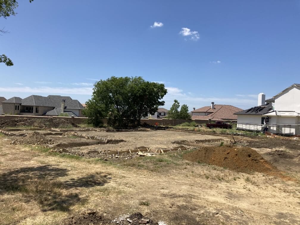
A form survey, also called a form board survey, is a survey showing the location of form boards for a concrete foundation. Typically required for inspection prior to pouring a slab, form surveys check that a concrete slab will not be encroaching within various easements or building setback lines once placed on the ground. A foundation survey checks for the same thing after the concrete has been poured and set.
Who this service is for
- Builders
- Concrete Contractors
- Homeowners Adding On
What you receive
- PDF survey delivered by email
- Signed hardcopies upon request
- Trimmed DWG/CAD data upon request
Grade (Drainage) Survey
A grade survey, also called a grading or drainage survey, shows the improvements on a property and the drainage of the lot. It can be performed on its own, or the grade can be included on a title survey.
Who this service is for
- Homeowners
- Builders
- Property Owners
- Title Companies
What you receive
- PDF survey delivered by email
- Signed hardcopies upon request
- Trimmed DWG/CAD data upon request
Layout / Envelope
A layout marks the locations for building an improvement, usually a house, on the ground. Where a lot stake marks the lot itself, a layout marks what will be built on it.
Who this service is for
- Builders
- General Contractors
- Property Owners
What you receive
- Building corners or the envelope marked on the ground, as the builder prefers
- Points usually marked with 60D nails
- Offset markers set where construction is likely to disturb the points
Lot Stake (Pins)
A lot stake survey, also called lot staking or pinning the lot, involves accurate and visual marking of a lot or tract's corners, and possibly boundary lines, to show a property's boundary on the ground.
Who this service is for
- Homeowners
- Builders
- Fence Contractors
- Property Owners
What you receive
- Property corners marked on the ground with tape or paint
- Missing corner monuments reset, with a “ROOME” cap on new iron rods
- Stakes set on the boundary lines when requested
- No drawing is included with this service
Pad / Spot Elevation Survey
A pad elevation survey records the elevation of the existing lot pad, the flattened area where the improvements will be placed, before the foundation is formed. There are many reasons you may want or need to know this information, such as checking for drainage issues or confirming the pad matches the grading plan. The same survey covers spot elevations: we record elevations at the specific points you need them, shown as values on the drawing rather than as topographic contour lines.
Best done once the build area has been benched, graded to its planned height, so the survey confirms the pad. Before grading, it can show the cut or fill needed to reach the planned pad elevation, as a cut and fill measurement.
Who this service is for
- Builders
- Concrete and Grading Contractors
- Developers
What you receive
- Pad elevation marked on site
- PDF drawing delivered by email when a drawing is required
- Signed hardcopies upon request
Plats
A plat is a drawing of a parcel of land. More specifically, it is the drawing created by the surveyor that shows the field work, with bearings, distances, and the lots, blocks, streets, and easements being created or changed. We prepare subdivision plats for new development, replats that reconfigure previously platted lots, and amending plats that correct a recorded plat.
Who this service is for
- Developers
- Builders
- Property Owners
- Civil Engineers
- Title Companies
What you receive
- Plat drawing prepared for city submittal
- Revisions through city approval
- Recorded plat once approved and filed
Plot Plan (Site Plan)
A plot plan, or site plan, is a drawing of proposed improvements, such as a residence or accessory building, on a property. It is typically used for permitting purposes.
Who this service is for
- Homeowners
- Builders
- Contractors
- Pool and Outbuilding Installers
What you receive
- PDF survey delivered by email
- Signed hardcopies upon request
- Trimmed DWG/CAD data upon request
Slab Elevation Grid Survey
A slab elevation grid survey, sometimes called a slab survey, produces a drawing of the property that shows the elevation of the concrete slab throughout the house. It can be done before the house is framed, after framing, and even after a house is completely built.
Who this service is for
- Builders
- Homeowners
- Foundation Engineers
- Foundation Repair Contractors
What you receive
- PDF survey delivered by email
- Signed hardcopies upon request
- Trimmed DWG/CAD data upon request
Specific Use Permit Survey
When a business — a day care, a private school, a game room, a bar — wants a location the property is not zoned to allow, the city may permit the use through a specific use permit. The request goes through the zoning process and is granted by the municipality. Not every Texas city zones, and some call the same mechanism a special use or conditional use permit, so the first question is what your city calls it.
Who this service is for
- Business Owners
- Commercial Tenants
- Developers
- Zoning Consultants
What you receive
- PDF survey delivered by email
- Signed hardcopies upon request
- Trimmed DWG/CAD data upon request
Title Survey
A title survey is a comprehensive examination and reporting of significant factors affecting a tract's boundary lines, right-of-way lines, setbacks, and easements. The parties to a transaction — the title insurance company, lender, buyer, and seller — all benefit from a title survey at closing.
Who this service is for
- Homeowners and Buyers
- Title Companies
- Lenders
- Real Estate Brokers
- Builders
What you receive
- PDF survey delivered by email
- Signed hardcopies upon request
- Trimmed DWG/CAD data upon request
Topographic Survey
A topographic survey is a survey showing the contours and elevations of a property. It gives engineers, architects, and property owners the ground information they need for drainage, grading, and site design.
Who this service is for
- Civil Engineers
- Architects
- Developers
- Property Owners
What you receive
- PDF survey delivered by email
- DWG/CAD file with contours upon request
- Signed hardcopies upon request
Tree Location Survey
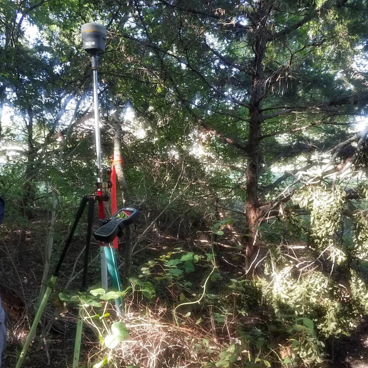
A tree location survey records the location and trunk diameter at 4.5 feet above ground of located trees, and marks them if needed. Usually, a tree location survey is a city requirement for locating specific trees that may need to be replaced if building plans remove them.
Who this service is for
- Developers
- Builders
- Architects and Landscape Architects
- Property Owners
What you receive
- PDF survey with tree locations and diameters delivered by email
- Tree list or table upon request
- DWG/CAD data upon request
Reach out
Need help choosing a service?
Tell us about the property and your project. We will discuss your needs, recommend the proper surveying service(s), and provide pricing and a timeline.