
Land Surveying Services
Pad / Spot Elevation Survey
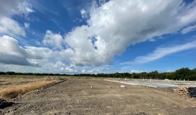
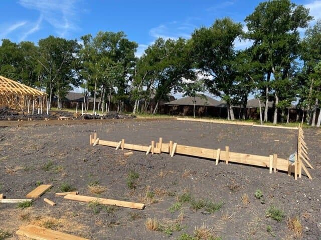
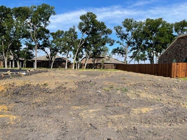
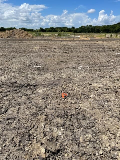
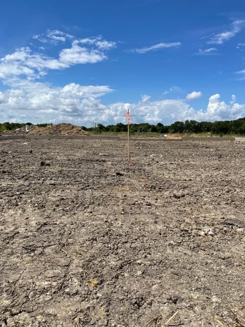
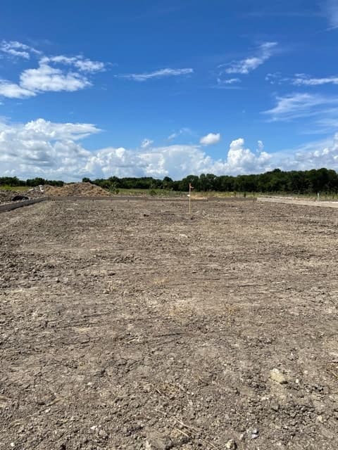
A pad elevation survey records the elevation of the existing lot pad, the flattened area where the improvements will be placed, before the foundation is formed. There are many reasons you may want or need to know this information, such as checking for drainage issues or confirming the pad matches the grading plan. The same survey covers spot elevations: we record elevations at the specific points you need them, shown as values on the drawing rather than as topographic contour lines.
Best done once the build area has been benched, graded to its planned height, so the survey confirms the pad. Before grading, it can show the cut or fill needed to reach the planned pad elevation, as a cut and fill measurement.
What this service involves
Overview
Before forms are set, the builder needs to know the pad sits at the elevation the grading plan calls for. We measure the pad and mark its elevation relative to a benchmark.
Checking the pad early surfaces fill or cut problems before the slab is poured, while the pad can still be adjusted.
Common uses
- Confirming pad elevation before forming
- Verifying fill or cut against the grading plan
- City requirements on new construction
- Spot elevations at specific points, without contours
Who this service is for
- Builders
- Concrete and Grading Contractors
- Developers
What you receive
- Pad elevation marked on site
- PDF drawing delivered by email when a drawing is required
- Signed hardcopies upon request
How the process works
Step 1 — Contact Us
You contact us with the lot, the pad elevation called for on the plans, and the benchmark the project references.
Step 2 — Review and Confirm
We confirm scope, pricing, and timeline with you.
Step 3 — Fieldwork Scheduled
Our in-house field crew measures the pad and marks the elevation. Most surveys are completed in four to five business days; homebuilder work is typically one to two business days.
Step 4 — Delivery
Results are called in and delivered by email, with a drawing when required.
Frequently asked questions
When should the pad be surveyed?
After the pad is graded and compacted and before the form boards are set. That is when a cut or fill correction is easiest to make.
Do you set the benchmark too?
If the site does not already have a benchmark, we can set one on the same visit so the pad, form, and slab checks all reference the same elevation.
Related services
Form Survey
A survey to confirm the location of the form boards for a concrete foundation before the slab is poured.
Slab Elevation Grid Survey
A drawing showing the elevation of the concrete slab at points throughout the house. To show possible issues with the foundation after it is poured and for warranty purposes.
Topographic Survey
A survey showing the contours and elevations of a property.